Close Alert Banner
Skip to Content

Kawartha Conservation Logo Kawartha Conservation Print Logo

Normal
Watershed Conditions Statement
Flood Watch
Flood Warning
Normal
Level I
Level II
Level III
  • Conservation Areas

    Conservation Areas

    • Durham East Cross Forest
    • Event Calendar
    • Fleetwood Creek
    • Ken Reid
    • Off-Leash Dog Park
    • Pigeon River Headwaters
    • Report an Issue
    • Windy Ridge
    • The Talking Forest
    • Kawartha Quest
    • Spring in the Kawartha Watershed
    • Disc Golf
    View our Durham East Cross Forest page
  • Permits and Planning

    Permits and Planning

    • Apply for a Permit
    • Book a Pre-Consultation Meeting
    • Event Calendar
    • Flood Plain Mapping
    • Planning Services
    • Property Information Requests
    • Property Mapping
    • Report a Violation
    • Source Protection Notice
    • Sediment and Erosion Control
    View our Property Mapping page
  • Landowner Services

    Landowner Services

    • Erosion and Shoreline Protection
    • Event Calendar
    • Farm Management
    • Healthy Gardens
    • Community Grants
    • Landowner Grants
    • Septic Systems and Wells
    • Tree Planting
    View our Tree Planting page
  • Learn and
    Get Involved

    Learn and Get Involved

    • Birding
    • Careers and Volunteering
    • Festivals
    • Citizen Science
    • Donations
    • Kawartha Conservation Foundation
    • Learn at Home
    • Nature Camps
    • News and Events
    • Professional Development
    • Students and Teachers
    • The Talking Forest
    • Spring time in the Kawartha Watershed
    • Kawartha Quest
    View our Kawartha Conservation Foundation page
  • Environmental Sciences

    Environmental Sciences

    • Climate Change
    • Data Requests and Maps
    • Drinking Water Source Protection
    • Flood Forecasting and Warning
    • Flood Plain Mapping
    • Lake and Environmental Management Plans
    • Lake Scugog Enhancement Project
    • Low Water and Droughts
    • Understanding your Watershed
    • Watershed Monitoring
    • Know Your Signs
    • Environmental Monitoring Strategy
    • Watershed Report Cards
    View our Cameron Lake page
  • About Us

    About Us

    • Accessibility
    • Board Meeting Calendar
    • Governance
    • Careers and Volunteering
    • Contact Us
    • Donations
    • Event Calendar
    • Online Store
    • Our Partners
    • Plans and Reports
    • Report an Issue
    • Who We Are
    • Bids and Tenders
    • Connect with Us Online
    View our Careers and Volunteering page
Contact Us

Source Water Protection official visiting a cattle farm

Source Protection Notice

HomePermits and PlanningSource Protection Notice
  • Open new window to share this page via Facebook Facebook
  • Open new window to share this page via Twitter Twitter
  • Open new window to share this page via Pinterest Pinterest
  • Open new window to share this page via LinkedIn LinkedIn
  • Email this page Email

drinking water protection zone road signIf you live near a municipal drinking water system, things you do on your property could impact the water in that system. Before the municipality allows you to make any changes to your property, you need to get approval from the Risk Management Official.

Source Protection Notice Application

You can also download the application and submit it by email or in person at the Kawartha Conservation office. The Risk Management Official will review your application and give you the notice to proceed or contact you to complete a Risk Management Plan. We will contact you within three business days to update you on your application status. There is no fee for this notice.

Negotiating a risk management plan

If you are planning to undertake an activity that could pose one of the following threats, you may need a Risk Management Plan.

Residential threats

Residential threats to water sources include storing:

  • Or applying pesticides on your property
  • Chemicals on your property
  • Fuel on your property or heating your home with oil

Agricultural threats

Agricultural threats to water sources can include storing or applying:

  • Pesticides on your property
  • Fertilizer on your property
  • Agricultural source material (manure) on your property
  • Non-agricultural source material (sewage biosolids) on your property
  • Fuel on your property
  • Chemicals on your property

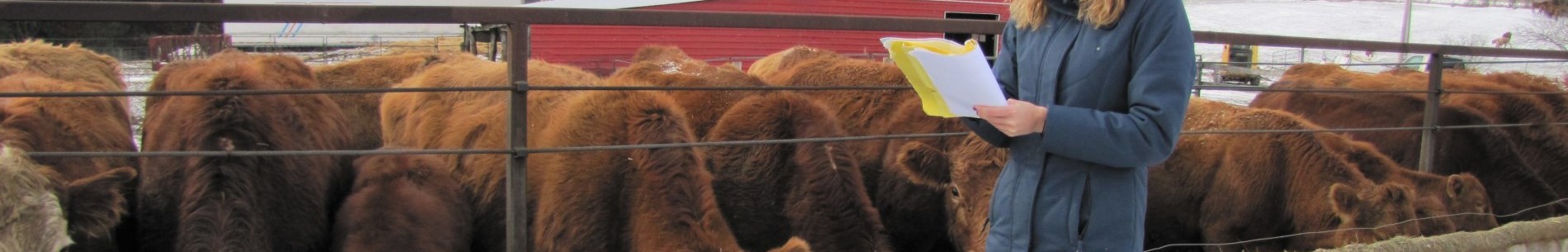
Livestock grazing or confinement on your property can threaten water sources.

Commercial/industrial threats

Commercial and industrial threats to waters sources include storing or applying:

  • Pesticides on your property
  • Fertilizer on your property
  • Road salt on your property
  • Fuel on your property
  • Chemicals or waste on your property

If your property needs a Risk Management Plan, we will contact you to set up a site visit. During the site visit, we will talk with you about what you need to do on your property as well as how to draft your Risk Management Plan. The plan may include:

  • Actions you can take to reduce the threat to the local water source
  • A map of your property's vulnerable areas and policies from the local source protection plan that apply to you

Together, we will discuss the plan and answer any questions you have. If you are happy with the Risk Management Plan, both you and the Risk Management Official will sign it.

Do I need a source protection notice?

You need a notice if you own property in a vulnerable area near a municipal drinking water system and have filed a Planning or Building application with the municipality. See the Province's maps or check out our property mapping to know if you are in one of these vulnerable areas.

Actions that require a source protection notice

If you live in a vulnerable area, you will need a source protection notice in order to apply for a:

  • Zoning by-law amendment
  • Official plan amendment
  • Site Plan Approval
  • Minor Variance
  • Consent
  • Building permit

About the source protection plan

To protect municipal drinking water sources from pollution like that of Walkerton in 2000, the Clean Water Act and source water protection plans exist. These plans have policies to make sure that the water will always be safe to drink. Some of these policies need a Risk Management Plan to be negotiated to make sure that what is being done near the water source is not harmful to it. Other policies stop certain activities from happening on the property.

More information

If you want more information about what you can do to protect your drinking water you can visit:

  • Trent Source Protection Region
  • South Georgian Bay Lake Simcoe Source Protection Region
  • Conservation Ontario
  • City of Kawartha Lakes
  • Region of Durham
  • Municipality of Trent Lakes
Permits and Planning
    • Apply for a Permit
    • Book a Pre-Consultation Meeting
    • Event Calendar
    • Flood Plain Mapping
    • Planning Services
    • Property Information Requests
    • Property Mapping
    • Report a Violation
    • Source Protection Notice
    • Sediment and Erosion Control

Contact Us

Subscribe to this page
  • Report an Issue
  • Accessibility
  • Careers
  • Store
  • Contact Us

Kawartha Conservation Footer Logo

© 2020 Kawartha Conservation

  • Freedom of Information
  • Privacy Policy
  • Sitemap
  • Website Feedback

Follow Us

View our Facebook Page View our Twitter Page View our Instagram Page View our YouTube Page View our LinkedIn Page

Immigration, Refugees and Citizenship Canada logo

With the support of the Government of Canada through the Federal Economic Development Agency for Southern Ontario

Designed by eSolutionsGroup

Close Old Browser Notification
Browser Compatibility Notification
It appears you are trying to access this site using an outdated browser. As a result, parts of the site may not function properly for you. We recommend updating your browser to its most recent version at your earliest convenience.