We collect science information on a variety of environmental topics throughout our watershed. Information is collected on a daily, weekly, monthly or annual basis depending on the program. Scientific Information is available upon request for the following areas:
- Water quality
- Water quantity
- Temperature
- Groundwater
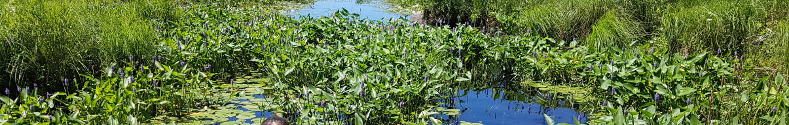
- Aquatics (bugs and fish)
We provide map production through our Geographical Information Systems (GIS) incorporating digital imagery and various types of information layers that can include:
- Property-specific boundaries
- Wetlands
- Lakes and watercourses
- Areas regulated under Ontario Regulation 182/06
- Ecological land classifications
- Soils
- Bedrock and surficial geology
- Areas of Natural Scientific Interest (ANSI)
- Contours
- Elevations
- Transportation
- 2018 imagery
| Service | Description | Format | Fee* |
|---|---|---|---|
|
Mapping/Data Processing |
Processing mapping or data requests to include: map productions; data analysis; photo retrieval; delivery of digital data (1hr minimum). |
$80/hr |
|
|
Ontario Regulation 182/06
|
Regulation Mapping per sheet |
Digital Copy |
$80 |
|
Regulation Mapping - Entire Watershed |
Digital Copy |
$2000 |
|
|
Annual Fee - Updates to Regulation Mapping (Entire Watershed) |
Per Year |
$500 |
|
| Floodplain Modelling |
Hec-Ras, VO2 models |
Each |
$600 |
|
Aerial photography
|
1978/1988 – black and white. |
Digital Copy
|
$15/photo |
|
Per additional image |
$5/photo |
||
|
Orthophotography |
2002, 2008, 2013, 2018 – orthophotography tile. |
Tiff File |
$75/photo |
|
Plotter prints
|
Any map generated and printed off using the large format plotter. |
17"x22" 22"x34" 33"x44" |
$35 $45 $55 |
|
All other dimensions (per linear foot) |
|
$15 |
*All fees are subject to HST
To request scientific data today
Contact our Watershed Resources Technician or contact us by phone at 705-328-2271 ext. 227.
To order a custom map today
Contact GIS Specialist or contact us by phone at 705-328-2271 ext. 121.
Requests for permitting/planning purposes
Submit a property information request to find out permit requirements, environmental features, natural hazards, violations, etc. for the property you are interested in.
Property mapping is also available if you are unsure if you require a permit from Kawartha Conservation for any new development within our watershed.