Close Alert Banner
Skip to Content

Kawartha Conservation Logo Kawartha Conservation Print Logo

Normal
Watershed Conditions Statement
Flood Watch
Flood Warning
Normal
Level I
Level II
Level III
  • Conservation Areas

    Conservation Areas

    • Durham East Cross Forest
    • Event Calendar
    • Fleetwood Creek
    • Ken Reid
    • Off-Leash Dog Park
    • Pigeon River Headwaters
    • Report an Issue
    • Windy Ridge
    • The Talking Forest
    • Kawartha Quest
    • Spring in the Kawartha Watershed
    • Disc Golf
    View our Durham East Cross Forest page
  • Permits and Planning

    Permits and Planning

    • Apply for a Permit
    • Book a Pre-Consultation Meeting
    • Event Calendar
    • Flood Plain Mapping
    • Planning Services
    • Property Information Requests
    • Property Mapping
    • Report a Violation
    • Source Protection Notice
    • Sediment and Erosion Control
    View our Property Mapping page
  • Landowner Services

    Landowner Services

    • Erosion and Shoreline Protection
    • Event Calendar
    • Farm Management
    • Healthy Gardens
    • Community Grants
    • Landowner Grants
    • Septic Systems and Wells
    • Tree Planting
    View our Tree Planting page
  • Learn and
    Get Involved

    Learn and Get Involved

    • Birding
    • Careers and Volunteering
    • Festivals
    • Citizen Science
    • Donations
    • Kawartha Conservation Foundation
    • Learn at Home
    • Nature Camps
    • News and Events
    • Professional Development
    • Students and Teachers
    • The Talking Forest
    • Spring time in the Kawartha Watershed
    • Kawartha Quest
    View our Kawartha Conservation Foundation page
  • Environmental Sciences

    Environmental Sciences

    • Climate Change
    • Data Requests and Maps
    • Drinking Water Source Protection
    • Flood Forecasting and Warning
    • Flood Plain Mapping
    • Lake and Environmental Management Plans
    • Lake Scugog Enhancement Project
    • Low Water and Droughts
    • Understanding your Watershed
    • Watershed Monitoring
    • Know Your Signs
    • Environmental Monitoring Strategy
    • Watershed Report Cards
    View our Cameron Lake page
  • About Us

    About Us

    • Accessibility
    • Board Meeting Calendar
    • Governance
    • Careers and Volunteering
    • Contact Us
    • Donations
    • Event Calendar
    • Online Store
    • Our Partners
    • Plans and Reports
    • Report an Issue
    • Who We Are
    • Bids and Tenders
    • Connect with Us Online
    View our Careers and Volunteering page
Contact Us

Interior banner

Scugog River

HomeEnvironmental SciencesUnderstanding your WatershedScugog River
  • Open new window to share this page via Facebook Facebook
  • Open new window to share this page via Twitter Twitter
  • Open new window to share this page via Pinterest Pinterest
  • Open new window to share this page via LinkedIn LinkedIn
  • Email this page Email

A sign for the Scugog River located in front of the river in the summerThe Scugog River is situated between Lake Scugog and Sturgeon Lake and is bisected by Hwy 35 and Hwy 7. It is roughly centered on the town of Lindsay, which covers a large portion of its landmass. Water flows northward through Lindsay into Sturgeon Lake.

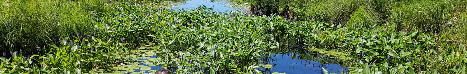
View a map of the Scugog River Watershed

Watershed characteristics

Learn about the characteristics of the Scugog River watershed.

Watershed size

The total watershed area is 47 km² or 4,685 ha and the total watercourse length is 85 km.

Natural vegetation cover

The dominant forest type is coniferous forest including:

  • Forest interior (100 m): 23 ha
  • Forest interior (200 m): 7 ha
  • Natural cover: 20%

Significant natural sites

Provincially Significant Wetlands

  • East Cross Creek No.15: 1.7 ha
  • Scugog River & Mariposa Brook: 28 ha
  • Stoney Creek Headwaters: 110 ha
  • Sturgeon Lake 27: 3.5 ha

Area of Natural and Scientific Interest (ANSI) - Life Science: East Cross Creek: 0.22 ha                                         

Environmental conditions

The following grades show the environmental conditions for the Scugog River watershed.

Surface water quality
IndicatorResultGradeStatus

Total phosphorus

0.027 mg/L

C

Fair

Benthic macroinvertebrates

N/A

N/A

N/A

Surrounding watershed surface water quality
IndicatorResultGradeStatus

Total phosphorus

0.053 mg/L

C

Fair

Benthic macroinvertebrates

6.58 (FBI)

F

Poor

The surface water quality grade was based on total phosphorous (TP) and/or benthic macroinvertebrates (aquatic insects) family biotic index (FBI). The provincial water quality objective for TP in rivers and streams is 0.03 mg/L and 0.02 mg/L in lakes. These guidelines were set because levels highter than these guildelines provide conditions for nuisance algae and aquatic plant growth. A TP value below 0.03 mg/L (rivers) or 0.02 (lakes) meets the provincial guidelines and is in the B (good) or A (excellent) grade range, while the result for benthic macroinvertebrates must be 5.00 or lower to receive a B (good) or A (very good to excellent) grade.

Well 432
IndicatorResultIndicator gradeCombined grade

Nitrate + nitrite

0.043 mg/L

A

B

Chloride

191.0 mg/L

D


Nitrogen levels in this well are excellent, falling below the Provincial Maximum Acceptable Concentration of 10 mg/L for drinking water. Chloride levels also receive an excellent grade, as they fall well below the Provincial Aesthetic Objective of 250 mg/L for drinking water. Groundwater quality results from the wells do not represent groundwater quality across the subwatershed, but rather, the water quality within the aquifer in which the well is located.

Forest conditions
IndicatorArea coverPercent coverGradeStatus

Forest cover

3.4 km²

7.5%

D

Poor

Forest interior

0.2 km²

0.5%

F

Very Poor

Forested riparian cover

0.8 km²

19.9%

D

Poor

The combined forest conditions grade for Scugog River is ranked as poor.

Wetland conditions
IndicatorArea coverPercent coverGradeStatus

Wetland cover

2.3 km²

5.15%

D

Poor


Environmental Sciences
    • Climate Change
    • Data Requests and Maps
    • Drinking Water Source Protection
    • Flood Forecasting and Warning
    • Flood Plain Mapping
    • Lake and Environmental Management Plans
    • Lake Scugog Enhancement Project
    • Low Water and Droughts
    • Understanding your Watershed
      Toggle Section Understanding your Watershed Menu
      • Balsam Lake
      • Blackstock Creek
      • Cameron Lake
      • Cawkers Creek
      • East Cross Creek
      • Emily Creek
      • Fleetwood Creek
      • Hawkers Creek
      • Janetville Creek
      • Jennings Creek
      • Lake Scugog
      • Layton River
      • Mariposa Brook
      • Martin Creek North
      • Martin Creek South
      • McLarens Creek
      • Nogies Creek
      • Nonquon River
      • Pearns Creek
      • Pigeon Lake
      • Pigeon River
      • Rutherford Creek
      • Scugog River
      • South Lake Scugog
      • Staples River
      • Stoney Creek
      • Sturgeon Lake
    • Watershed Monitoring
    • Know Your Signs
    • Environmental Monitoring Strategy
    • Watershed Report Cards

Contact Us

Subscribe to this page
  • Report an Issue
  • Accessibility
  • Careers
  • Store
  • Contact Us

Kawartha Conservation Footer Logo

© 2020 Kawartha Conservation

  • Freedom of Information
  • Privacy Policy
  • Sitemap
  • Website Feedback

Follow Us

View our Facebook Page View our Twitter Page View our Instagram Page View our YouTube Page View our LinkedIn Page

Immigration, Refugees and Citizenship Canada logo

With the support of the Government of Canada through the Federal Economic Development Agency for Southern Ontario

Designed by eSolutionsGroup

Close Old Browser Notification
Browser Compatibility Notification
It appears you are trying to access this site using an outdated browser. As a result, parts of the site may not function properly for you. We recommend updating your browser to its most recent version at your earliest convenience.